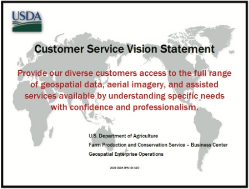
Customer Services manages the public facing Customer Fulfillment desk. The team supports customers by assisting with research in determining the geospatial content specific to their need.
Content includes NAIP and historic aerial imagery. The team’s daily activities include receiving research requests, creating customer orders, processing reimbursable collections, working with production staff, and managing product delivery. The team collaborates with the Production, Geospatial, and IT Services teams to deliver customer needs.
Aerial photography and digital orthophotography acquired by the USDA are in the public domain and are available to
federal and state agencies, and to the general public through the Geospatial Enterprise Operations.
Products
CLU – Common Land Unit is a county farm and tract boundary used to measure acreage and determine crop yield among other uses. This dynamic geospatial process is frequently updated to ensure dataset is current. Section 1619 (7 USC § 1619) of the 2008 Farm Bill restricts sharing of CLU data.
Requests for Common Land Unit (CLU) information can be sent to:
SM.FP.FOIA@usda.gov
Certification – A letter stating official regulation and original film holdings location indicating aerial identification and date with state and county covered. Used for court cases and physically attached to aerial photographic reproductions. Also available is a standard Letter of Origin that can be provided without certification and includes the same information.
Services
Geospatial Data Research – Is an innovative-systematic approach to verify and study GEO’s geospatial holdings to increase the level of knowledge, awareness, and understanding the nature and availability of products and services available to support the FPAC mission and supports the following ordering activities:
- Aerial Coverage Determination
- Customized Photographic Reproductions
- Electronic & Media Delivery
- Georeferencing

