The files for locating available aerial imagery were updated on April 1, 2025
- View a comprehensive PDF file of all states A-M.
- View a comprehensive PDF file of all states N-W.
- View the Forest Service PDF file.
- View the Alpha FIPS PDF file.
- You may contact the National Archives for aerial imagery prior to 1955 at: carto@nara.gov
Instructions to search for a particular state and county:
- Hold the "Ctrl" and "F" keys down to reveal the search box
- Type in the county name
- If the highlighted county is not the correct state, click "Next"
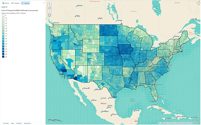
Historical Availability Map
View the ArcGIS Historical Availability of Imagery Interactive map

