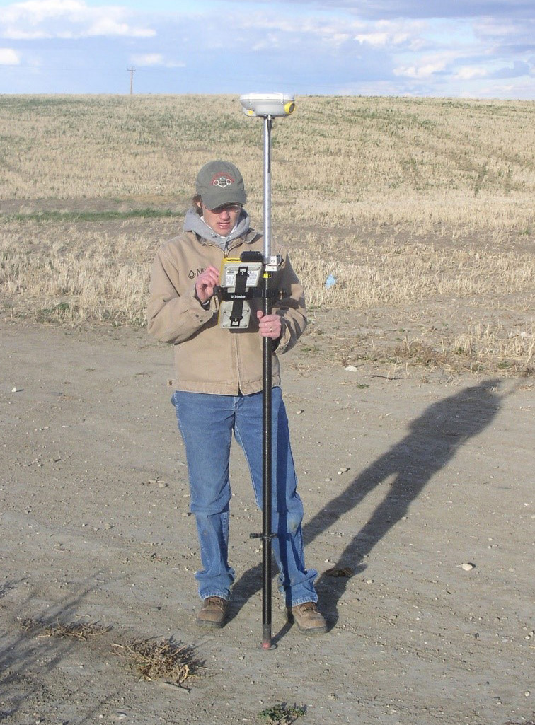
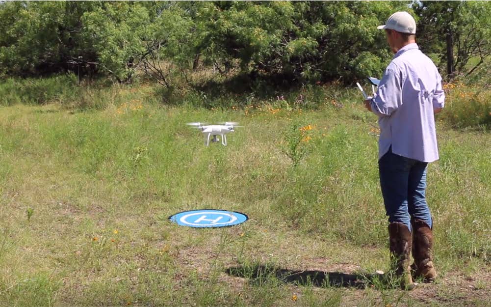
The organization provides program and lifecycle management support for the use of Positioning, Navigation and Timing (PNT), sUAS, LiDAR, and Mobile Workflows.
- Leads technology discovery, works with other federal agencies via interagency committees.
- Leads and/or participates with federal geospatial technology coordination groups (3DEP, NDOP).
- Conducts discovery work through academic institutions related to geoscience.
- Serves as subject matter experts in the fields of geospatial science, imagery, elevation, position, navigation and timing, and remote sensing.
- Evaluating the latest artificial intelligence and Deep Learning algorithms for image interpretation and collaborating with USDA OCIO CEC on the exploration of classification.
- Exploring container technologies for highly parallelized processing of Artificial Intelligence Machine Learning (AI/ML) algorithms against large geospatial datasets.
- Collaborating with Animal and Plant Health Inspection Service (APHIS) and the University of Maryland to monitor wildlife habitat at airports to reduce harmful bird strike incidents.
- Collaborating with NRCS-TX and Texas A&M University- Kingsville to collect sUAS imagery and elevation data for a USDA Plant Materials Center.


