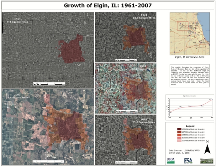
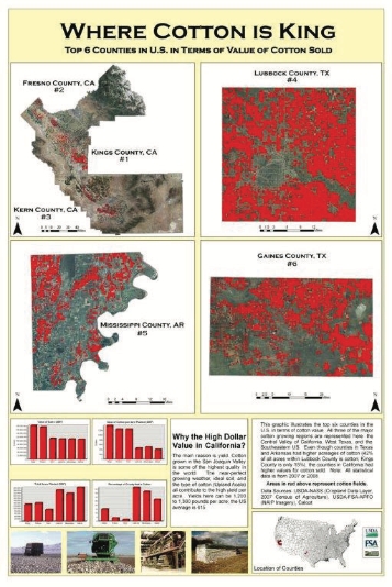
Geospatial Technology and Training provides geospatial centric training and assistance to FPAC agencies, specifically FSA field units. This includes support for GPS technology evaluation and employment, imagery application into workflows, and enabling historical geospatial information for inclusion in modern day analysis through georeferencing of historical imagery and photo indexing.
Services
Georeferenced Photo Indices – The team creates georeferenced historical film indices in support of generating center points.
Create Historical Photo Center Points – The team creates photo center points that are generated from the georeferenced historical film indices. These points are then used in research tools and catalogs.
GPS Support – The team provides support for GPS units. This includes device refresh, software updating, and general support.
Georeferencing – The team performs spatial correction of non-referenced imagery.
Analytic Services – The geospatial services team provides imagery analytics to support FPAC needs. This includes raster analysis, image classification, and image processing.


Examples of Geospatial Technology and Training
